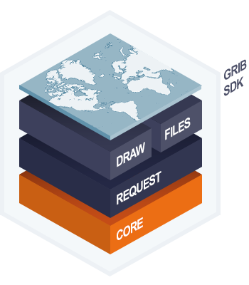
A comprehensive and fully customisable fifth-generation development suite for third-party navigation software and hardware applications that require GRIB data overlays.
Our GRIB-SDK efficiently requests, displays and analyses.
SDK kernel for third party application integration.
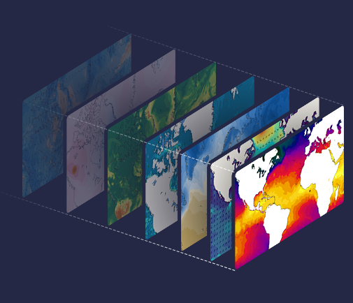
METOCEAN WMS
metocean Web Mapping Service – is a relatively simple and very efficient web-API/Web Mapping Service (WMS) producing on-the-fly map overlays for the exact area you require for each request. Producing an effective animation rate with lots of functionality and forecast parameters.
This is an extensively applied solution for our marine navigation app and fleet solution partners due to the simple integration and the highly visual and customisable nature of the API.
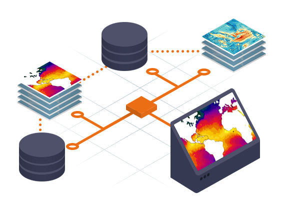
DATA PORTFOLIO
An extensive operational metocean data portfolio ensuring maritime sectors access the most accurate information available. Theyr data processing, developed by our scientists, adds value and ensures unrivalled accuracy. Get the data you need, when you need it.
Theyr’s industry-leading RDAS data platform is built to manage high-fidelity, large scale, complex meteorological and oceanographic data-sets. Significantly reduce data transfer and data handling requirements while increasing access to the highest fidelity operational metocean forecast and hindcast global data-sets.
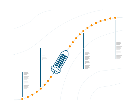
High-Fidelity Artificial Intelligence (AI) Voyage Optimisation delivered via a Sprint collaboration project between the University of Southampton (UoS) and Theyr. Combining a decade of Genetic Algorithm (GA) R&D from the AI team at the UoS and Theyr’s highest fidelity metocean data to provide uniquely effective VOS. Modular design for third-party integration with VOS suite providers.